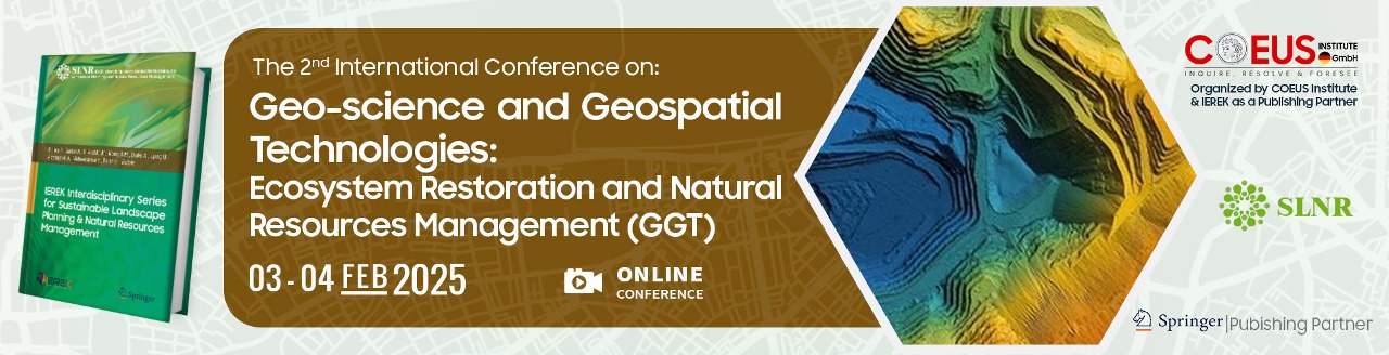
Geo-science and Geospatial Technologies: Ecosystem Restoration and Natural Resources Management - 2nd Edition
- 5th Feb - 5th Feb 2025
- Online Conference
- ccp@ierek.com
About the Conference
Earthquakes, volcanic eruptions, landslides, tsunamis, and countless natural disasters occur on a yearly basis. These natural disasters are all tied in a way to the field of geoscience. Geoscience is the study of processes that affect the Earth's surface, the natural resources that humans use, and the relationships between water and ecosystems. It encompasses much more than just rocks and volcanoes. Moreover, geoscience makes use of methods and resources from other scientific disciplines like chemistry, physics, biology, and math. In a rapidly evolving world characterized by dynamic environmental challenges, urbanization trends, and infrastructure demands, the need to gain an understanding of the power of geoscience and geospatial technologies has never been more obvious. Building upon the resounding success of the first conference, the “Geo-science and Geospatial Technologies: Earth Geosciences and Geotechnical Engineering” conference serves as a premier platform for multidisciplinary dialogue, knowledge exchange, and collaborative exploration at the intersection of geoscience, geospatial technologies, and geotechnical engineering, which summarizes the collective aspiration to foster synergy and collaboration across traditionally distinct disciplines.
Conference Scope
The conference will handle topics such as geological hazards and how to avoid them, the processes of acquiring and assessing geospatial data, the investigation of geotechnical sites, groundwater exploration, and management, and the integration between geotechnical and geospatial technologies with the fields of engineering and urban planning. Attendees of the conference will have the chance to be a part of a platform that facilitates knowledge sharing and networking. The conference will address urgent issues with natural hazards, environmental monitoring, urban development, and geotechnical advances through interesting dialogue, innovative discoveries, and useful conversations about geospatial technologies. The conference will cover topics such as unleashing the power of satellite imagery and remote sensing technologies to monitor and analyze the Earth's surface, harnessing the potential of GIS in spatial analysis, mapping, and decision support systems for various applications, discussing the latest methods and tools for managing, analyzing, and visualizing geospatial data to derive meaningful insights. The conference will also examine how Geo-science and Geospatial Technologies contribute to monitoring and managing environmental changes, including climate change, land degradation, and natural resource conservation, explore how Geo-science and Geospatial Technologies enhance urban planning, transportation systems, and infrastructure development for sustainable and resilient cities.
Statement of Purpose
The objectives of the conference include showcasing innovative applications of Geo-science and Geospatial Technologies in precision agriculture, forestry, water resource management, and biodiversity conservation, along with highlighting advanced modeling techniques and spatial analysis methods for understanding complex geospatial phenomena and predicting future trends. The second edition of our conference represents a gathering of esteemed scholars, researchers, industry pioneers, and innovators who share a common commitment to the advancing of knowledge and practice in critical domains. By uniting the expertise of geoscientists, geospatial technologists, and geotechnical engineers, the conference aims to catalyze transformative advancements in environmental management, urban planning, infrastructure resilience, and sustainable development.
Featured Conferences
View all
CityX: AI Applications for Cognitive Cities
- 07th Dec - 08th Dec 2027
- Online Conference
Earth Systems Dynamics across the MENA and Mediterranean Regions (EarthMENA)
- 05th Oct - 07th Oct 2027
- AudiMAX - Heidelberg, Germany
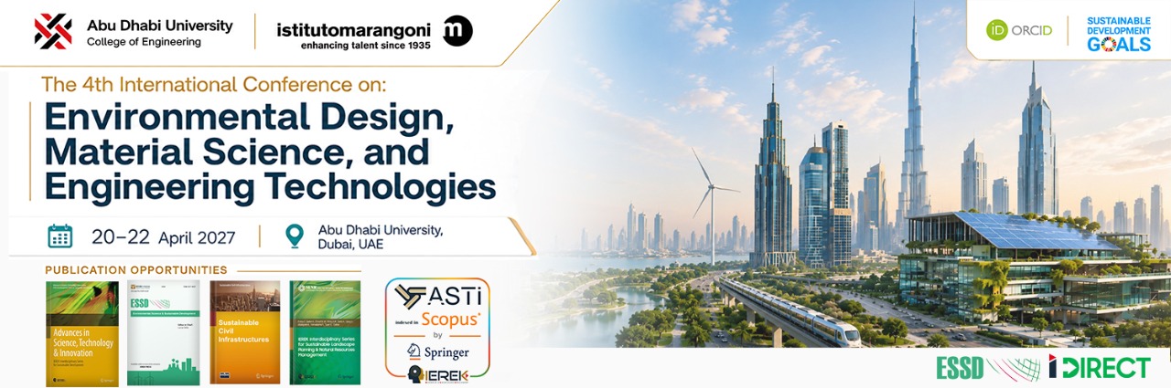
Environmental Design, Material Science, and Engineering Technologies (EDMSET) - 4th Edition
- 20th Apr - 22nd Apr 2027
- Abu Dhabi University, Dubai, UAE
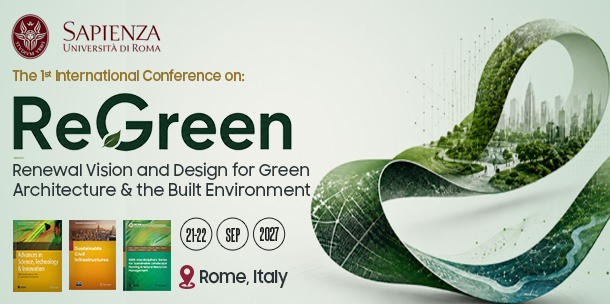
Regenerative Urbanism and Green Cities (ReGreen) - 1st Edition
- 21st Oct - 22nd Oct 2027
- Rome, Italy

Conservation of Architectural Heritage (CAH) - 11th Edition
- 14th Sep - 16th Sep 2027
- Ravello, Italy
.jpeg)
AI & The Human Sphere (AI-Sphere)
- 30th May - 31st May 2027
- Online Conference
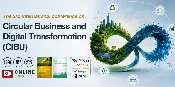
Circular Business and Digital Transformation: Resilience for a Regenerative Economy (CIBU) - 3rd Edition
- 25th May - 26th May 2027
- Online Conference
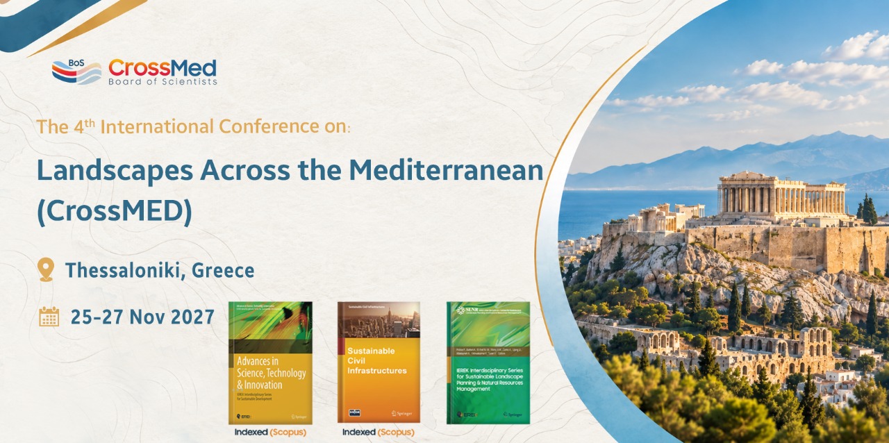
Landscapes Across the Mediterranean (CrossMED) - 4th Edition
- 25th Nov - 27th Nov 2027
- Thessaloniki, Greece
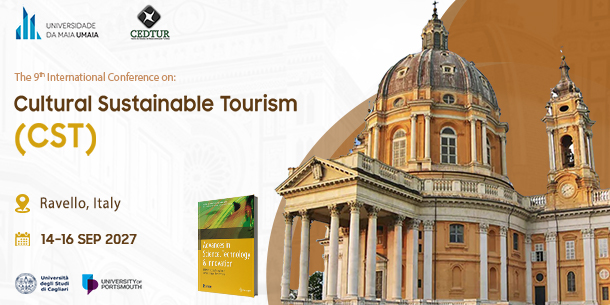
Cultural Sustainable Tourism (CST) - 9th Edition
- 14th Sep - 16th Sep 2027
- In collaboration with the University of Maia (UMAIA)
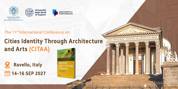
Cities Identity through Architecture and Arts (CITAA) - 11th Edition
- 14th Sep - 16th Sep 2027
- The European University Centre for Cultural Heritage, Ravello, Italy
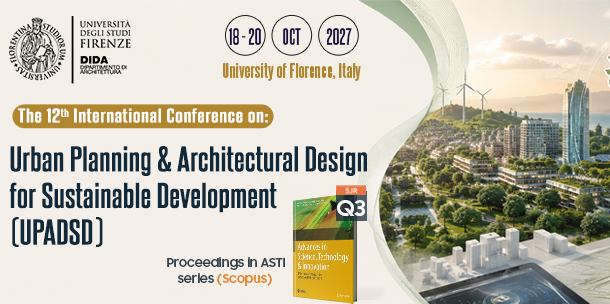
Urban Planning and Architectural Design for Sustainable Development (UPADSD) - 12th Edition
- 18th Oct - 20th Oct 2027
- University of Florence, Italy

Sustainability in Creative Industries (SCI) - 6th Edition
- 03rd Nov - 04th Nov 2027
- Online In Collaboration with Universitas Ciputra, Indonesia

Sustainable Creative Art: Inspiration from Nature (SCIN) - 3rd Edition
- 16th Nov - 18th Nov 2027
- Paris, France
.jpg)
Urban Planning & Architectural Design for Sustainable Development (UPADSD) – 11th Edition
- 20th Oct - 22nd Oct 2026
- University of Florence, Italy
Ask Us Anything!
If you have any question regarding our services, please fill out the form below and we will get back to you as soon as possible.
Partners


